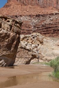
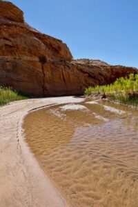
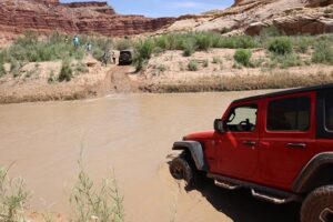
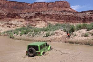
Dirty Devil River Crossing Waypoint 38.09694, -110.40677
The Dirty Devil River Crossing is a fun point on the Poison Spring trail 40 miles south of Hanksville Utah.The River starts out in Hanksville at the confluence of the Muddy Creek and Fremont rivers, it continues to flow 80 miles south and becomes a tributary of the Colorado river, which was under the waters of Lake Powell, but due to lower levels can now be seen.
The River got its name from the Powell Geographical Expedition in 1869, when one of the explorers claimed “she was a dirty devil” when asked the condition of the river.
The river has an extremely high salt content, and there was a plan implemented in the eighties to reduce the salinity by collecting salty spring water. The plan completed in 1987 was never implemented due to the marginal cost returns.
The crossing can vary in its height and flow rate especially after higher snowpack levels. These levels can be checked at the Hans Flat Ranger station and USGS water monitoring website.
Hans Flat Ranger Station
(435) 259-2652
https://waterwatch.usgs.gov/?m=real&r=ut&w=map


