BLM Rule Proposal May Devastate OHV Use on Public Lands
 The BLM is considering a rule that could devastate our access to public lands. Watch this short video from Ben Burr at BlueRibbon Coalition to learn why you should be concerned.
The BLM is accepting public comment until June 20, 2023 on a proposal to adopt the BLM Conservation and Landscape Healtlh Rule BLM-2023-0001-0001 (Click to see the entire Highlighted Rule) which could lead to massive restrictions for public land access across all lands managed by the Bureau of Land Management. Following is an article that explains the basis for our concern, and will be used by UPLA as a starting point for comments to be submitted.
I enjoy accessing and recreating on public lands. I believe BLM managed lands are crucial to the health and well being of our country. Access for many different user groups is crucial. I am writing to provide feedback on the proposed conservation and landscape health proposed BLM rule. I do not support the rule as it stands and believe it will be detrimental to public land across the United States. I think FLPMA, as it stands does a sufficient job in directing management of our public lands and should not be altered with the proposed changes.
Conservation is already rooted heavily in land management, and does not need to have additional complex levels of rules that would benefit wealthy organizations rather than the US Citizen. The rule establishing that “conservation” be defined to include both protection and restoration is especially troubling.
There should not be a stated objective of BLM to prioritize designating new ACEC’s, which are often used to restrict public access. There are already substantial methods in place such as congressionally designated Wilderness and Wilderness Study Areas which restrict land management uses, and there should not be more prioritization for designations of land that could harm use such as ACEC’s.
The broad use of the terms “intact, native habitats” and “degraded landscapes” are troubling, vague, and unclear. Theoretically, if a person ever walked on land and left a footprint, that land could be defined as a “degraded landscape” or one that is no longer intact or native. These terms are used in key recitals in the document, without any definition of what they actually mean. Page 10 states “The proposed rule would define the term “intact landscape” to guide the BLM with implementing direction. The proposed rule (§6102.1) would require the BLM to identify intact landscapes on public lands, manage certain landscapes to protect their intactness, and pursue strategies to protect and connect intact landscapes.” Although the rule states that BLM would define the term, there is no definition present. The same is true with the terms “landscape” and “intact landscapes” on Page 11. There are many other instances of terms that are not clearly defined in the document, which means the definitions and intent of the rules will have to defined by the courts and the teams with the best lawyers.
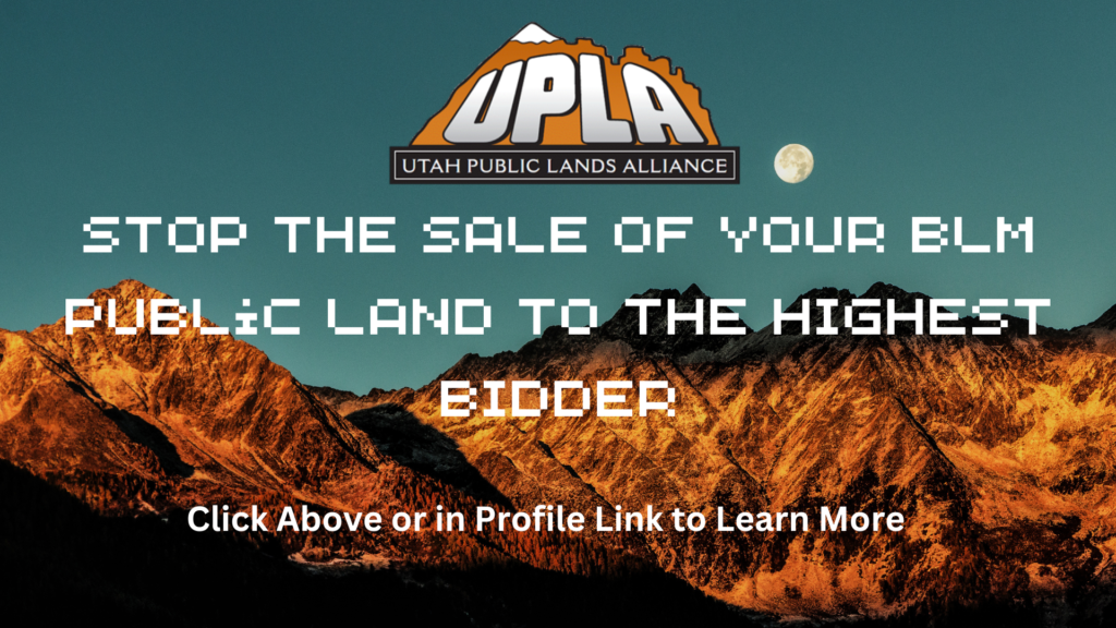
The proposed conservation leases make it possible for entities to essentially buy off our public lands for their own selfish purposes. The BLM should not be selling the land through these leases to the highest bidder restricting all other forms of use on public lands that benefit our nation in various ways. Only the best funded entities will have a chance to qualify and buy these leases, again removing the majority of users from participating.
We are extremely concerned that conservation extremist groups, such as Sierra Club and SUWA, would have the financial resources to bid on these leases to “restore” the land back to it’s natural condition, and to develop their own plan to “mitigate” the conservation activities by restricting access. Although the term of the leases is limited to 10 years, there are extensions allowed until the outcome is achieved. Based on prior experience, this would include removing roads and dispersed camping, which is the path to having the area declared as a Wilderness area resulting in even broader access issues.
It is also likely that this rule will be utilized as a tool for socioeconomic class discrimination. It is already common for conservation easements to be used by wealthy landowners in gateway Western communities to prevent development and turn these communities into enclaves for billionaires. The subject of this as a tool for wealthy or prospective landowners has even reached media in the Yellowstone Series. Conservation leases are used as a tool to keep the middle classes and working classes away from what eventually become private nature preserves for the wealthy. To spread this toxic outcome across the hundreds of millions of acres of BLM land is completely misguided.
The adoption of Conservation Leases should be stricken completely from the proposed rule.
Conservation is already used to restrict, regulate and deny access to public lands. By codifying conservation as a use, environmental groups will be given even more power to lock out the public from public lands. Lands are already sufficiently being conserved by various laws and Executive Orders such as NEPA, Clean Air Act, Clean Waters Act, Antiquities Act, Endangered Species and many many more. I do not believe the proposed rule is warranted or necessary. In order to gain better compliance, less complexity is needed in rulemaking, not more.
The rules requiring decisions be evaluated based on complex “high-quality science” removes the ability for all but the most well funded organizations to submit their “evidence.” Science is a study, and is generally composed of all different views of a subject. By codifying this as a requirement, it eliminates lesser funded organizations and citizens from making substantive comments that may represent a less restrictive approach to conservation. It has long been stated that if the consequences are high enough, you can always find an expert to testify on your behalf. This rule is simply not needed and will again remove the ability for users to participate in substantive comments.
Economic effects must be considered and analyzed. BLM needs to more fully analyze the effects that would result from the proposed rule. Recreation is a huge economic driver across BLM managed lands as well as other uses such as grazing and mining. These changes could greatly affect access in general for all users on public lands and that analysis and data needs to be available to the public to submit thoughtful comments. The BLM also needs to fully understand the depth of the effects from the proposed rule.
Every time motorized routes are closed, people with disabilities that require the use of motorized means to access public lands are barred from those areas forever. In the past, there has been little resource available to people with disabilities because the American with Disabilities Act does not require public land management agencies to consider disproportionate effects on the disabled community, requiring only that there is equality of opportunity. This has resulted in the BLM’s historical failure to give any real impact to the effects on the disabled community.
On his first day in office, President Biden issued an “Executive Order on Advancing Racial Equity and Support for Underserved Communities Through the Federal Government” This changed the equation, now requiring focus on equality of outcome rather than the prior equality of opportunity. Allowing closures of public lands through any of the methods outlined in the Rule will further the longstanding discrimination towards American with disabilities within federal land management agencies. The entire rule should be eliminated from consideration entirely because it will adversely impact disabled users in their outcome of enjoying public lands.
It is also likely that this rule will be utilized as a tool for socioeconomic class discrimination. It is already common for conservation easements to be used by wealthy landowners in gateway Western communities to prevent development and turn these communities into enclaves for billionaires. The subject of this as a tool for wealthy or prospective landowners has even reached media in the hit television series “Yellowstone”. Conservation leases can be used as a tool to keep the middle classes and working classes away from what eventually become private nature preserves for the wealthy. To spread this toxic outcome across the hundreds of millions of acres of BLM land is completely misguided.
The Federal Government already has enough protections available to protect our available resources, reject this Rule in it’s entirety.
Please submit your comments to prevent this rule from taking place with these sweeping changes. We encourage you to submit your detailed comments in either of 2 ways.
- Use the BlueRibbon Coalition’s Action Alert. Please edit to include your personal concerns in your comments.
- Federal eRulemaking Portal: Click on this link to take you directly to the Comments page for this action. If this link does not work, go to https://www.regulations.gov. In the Searchbox, enter “1004-AE-92” and click
the “Search” button. Follow the instructions at this website.
Thanks in advance for your support in taking action against this proposal.
Remember,
Together We Can Win,
But We Can’t Do It Without You
Loren Campbell
President
Learn How You Can Help Us Achieve our Mission at http://www.UtahPLA.com/help
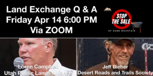
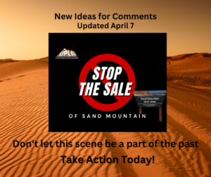 Scoping is underway for the proposed Land Exchange for the Washington County Water Conservancy District to obtain 1050 acres of land from the Western portion of Sand Mountain OHV area near Warner Valley. Part of this may be to provide land for the new reservoir, to which we have no objection, but we are in opposition to the addition of the land east of Warner Valley Rim which would affect West Rim and Ridgeline Trails. We are also opposed to the loss of disbursed camping in both Warner Valley and on the Pipeline Road. The camping on Pipeline Road is incomparable for the remote locations and incredible views, and is truly irreplaceable. You can learn more about the latest details at
 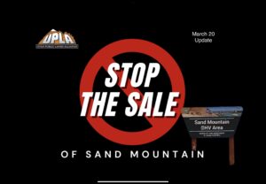 Scoping is underway for the proposed Land Exchange for the Washington County Water Conservancy District to obtain 1050 acres of land from the Western portion of Sand Mountain OHV area near Warner Valley. Part of this may be to provide land for the new reservoir, to which we have no objection, but we are in opposition to the addition of the land east of Warner Valley Rim which would affect West Rim and Ridgeline Trails. You can learn more about the latest details at